OVERVIEW
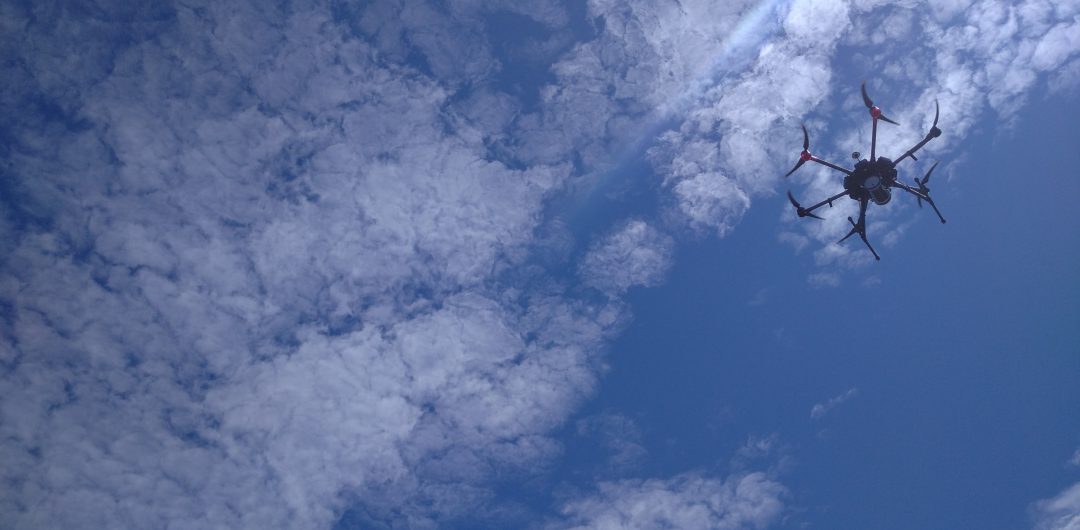
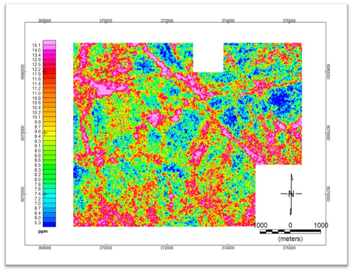
Flightec uses a custom, fully calibrated Gamma-Ray Spectrometer to efficiently map the natural radioactivity of near-surface geology with a multirotor UAV. Through full-spectrum analysis the recorded Gamma-Ray Spectra are processed to radionuclide concentrations of Potassium (%), Thorium and Uranium (ppm). In turn, these concentration maps provide key geological insights to the surface distribution of the radionuclides.
Other than environmental effects, the primary factors influencing the quality of a Radiometric Survey is the size and type of detector, the proximity to the target and the survey velocity. Multirotor drones allow for exact control of ground clearance, velocity and position, while allowing for easy parallel scalability.
EXECUTION
A Drape survey is executed at a fixed distance to the terrain while adhering to aviation safety standards by maintaining a minimum clearance from hazardous objects. The flight path is tailored specifically to the selected UAV’s flight envelope, ensuring smooth profiles over undulating terrain and through turns.
UAV Benefits:
- Smooth Profiles
- Precise Low Clearance
- Fully Autonomous
- Slow but Constant Velocity
- Minimal Line Deviation
- Parallel Scalability