OVERVIEW
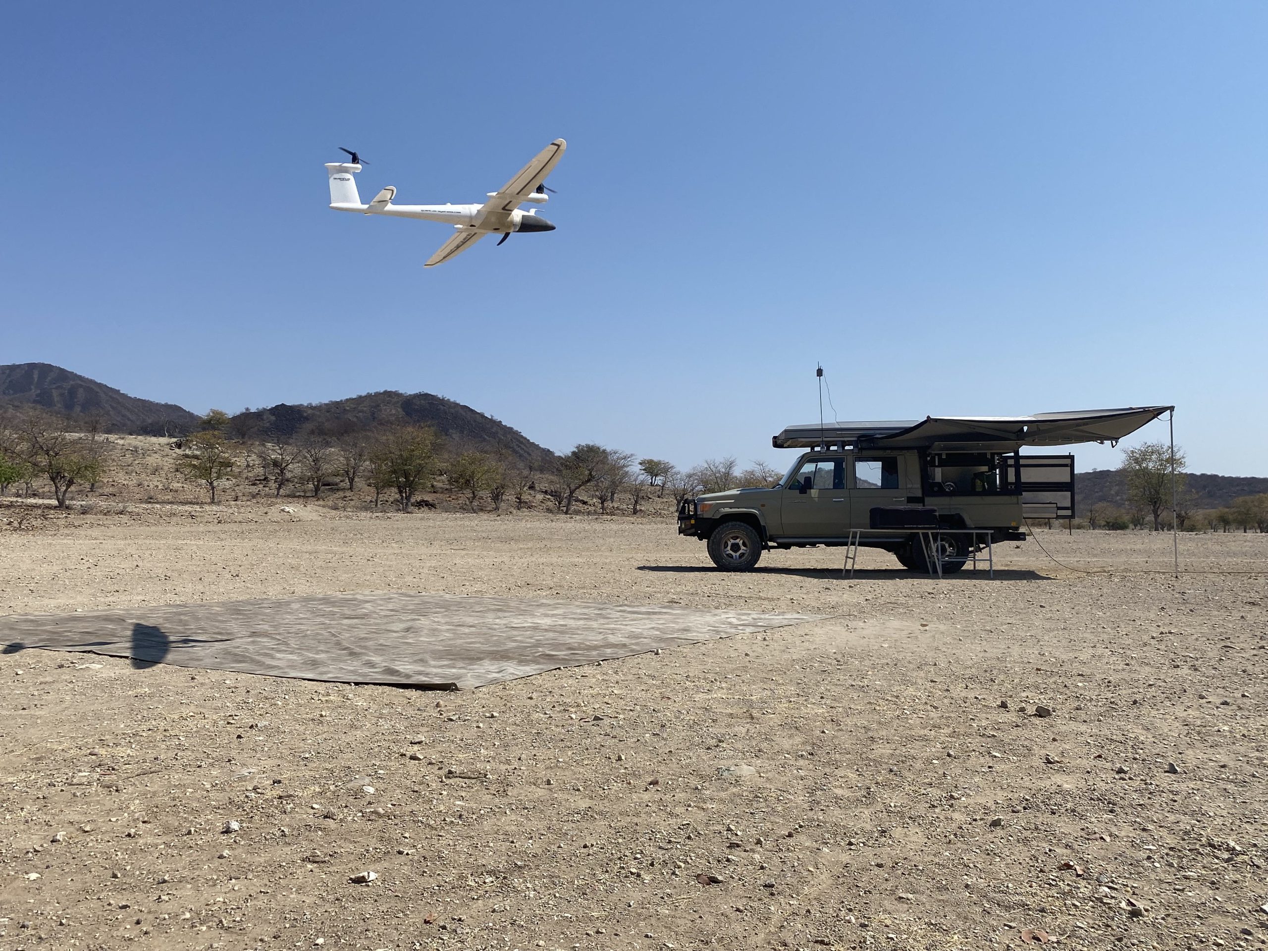
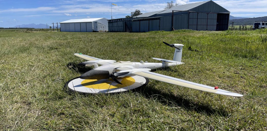
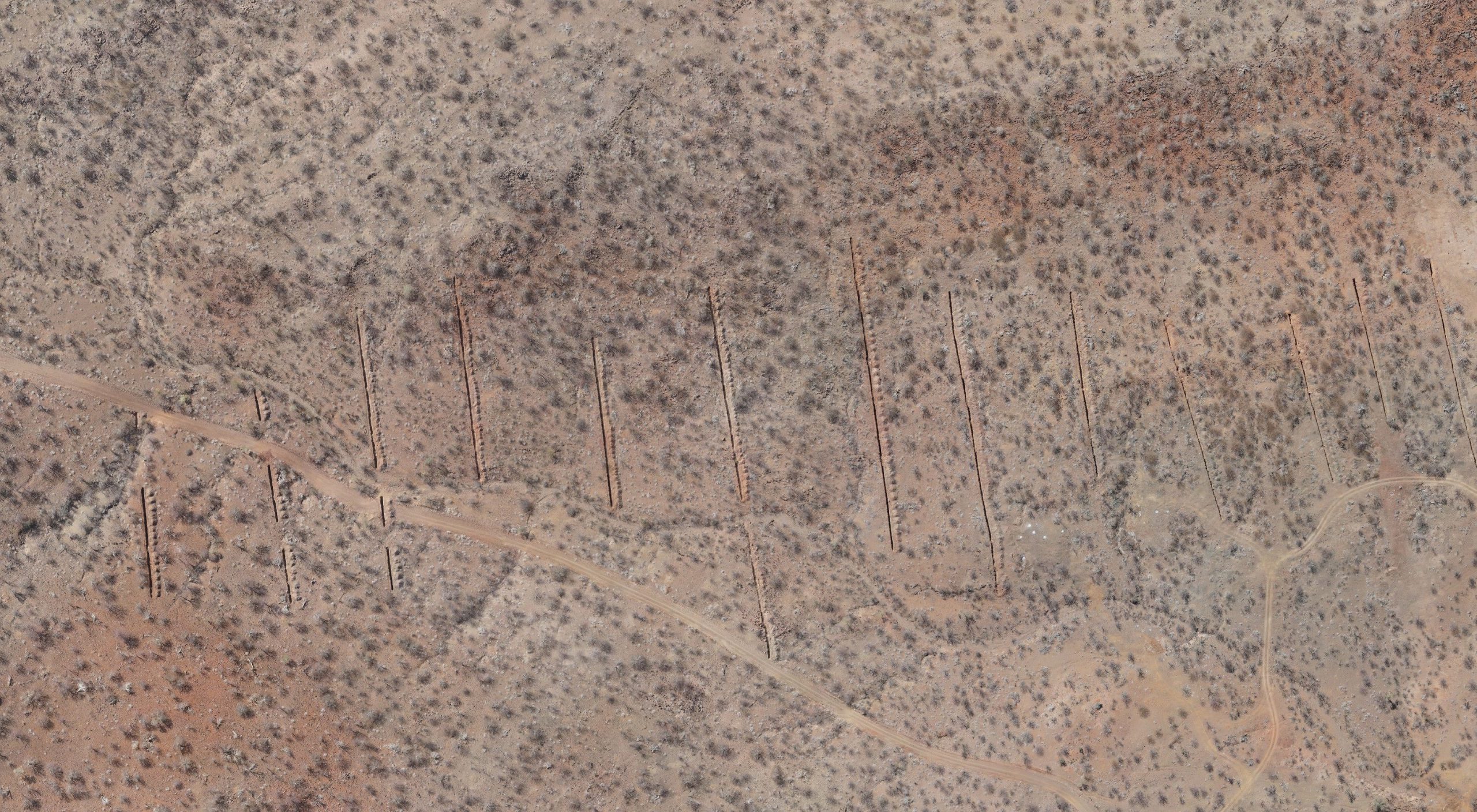
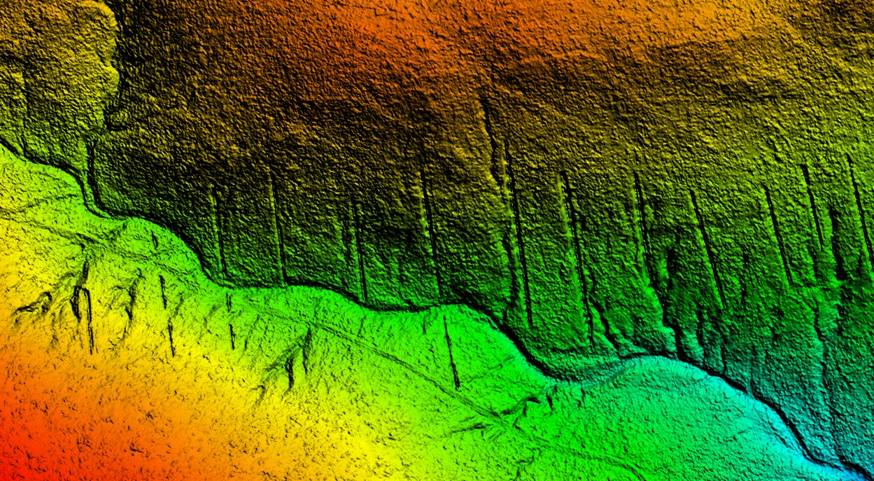
FLIGHTEC uses a fixed wing Vertical Take-Off and Landing (VTOL) UAV to map large areas while only requiring a small clearing for operations. PPK based Photogrammetry allow for the creation of precise Digital Surface Models (DSM), Digital Terrain Models (DTM) and Orthophotos. Compared to traditional multirotor systems, fixed-wing drones are ideally suited where longer flight times and greater ranges are required.
Through the customization and filtering of Terrain and Surface Models, FLIGHTEC can also ensure operational safety at low ground clearance during MAGNETIC and RADIOMETRIC surveys. Additionally, high resolution surveys and digital maps are paramount for planning (mines, towns, etc), identification (structures, vegetation, etc) and analysis (VOLUMETRIC, drainage, storm damage, other).
EXECUTION
During a Topographic survey, flight lines are orientated to produce minimal variance in Ground Sample Distance (GSD) while adhering to the UAV’s flight envelope. FLIGHTEC’s camera equipment is selected to provide an optimal image footprint while allowing the drone to operate at safe altitudes. As an additional step, flight safety is evaluated on existing, lower resolution topography data.
Fixed-Wing Benefits:
- Longer Flight Times
- Larger Areas
- Better Platform Stability
- Higher Wind Tolerance
- Lower Maintenance Requirements