OVERVIEW
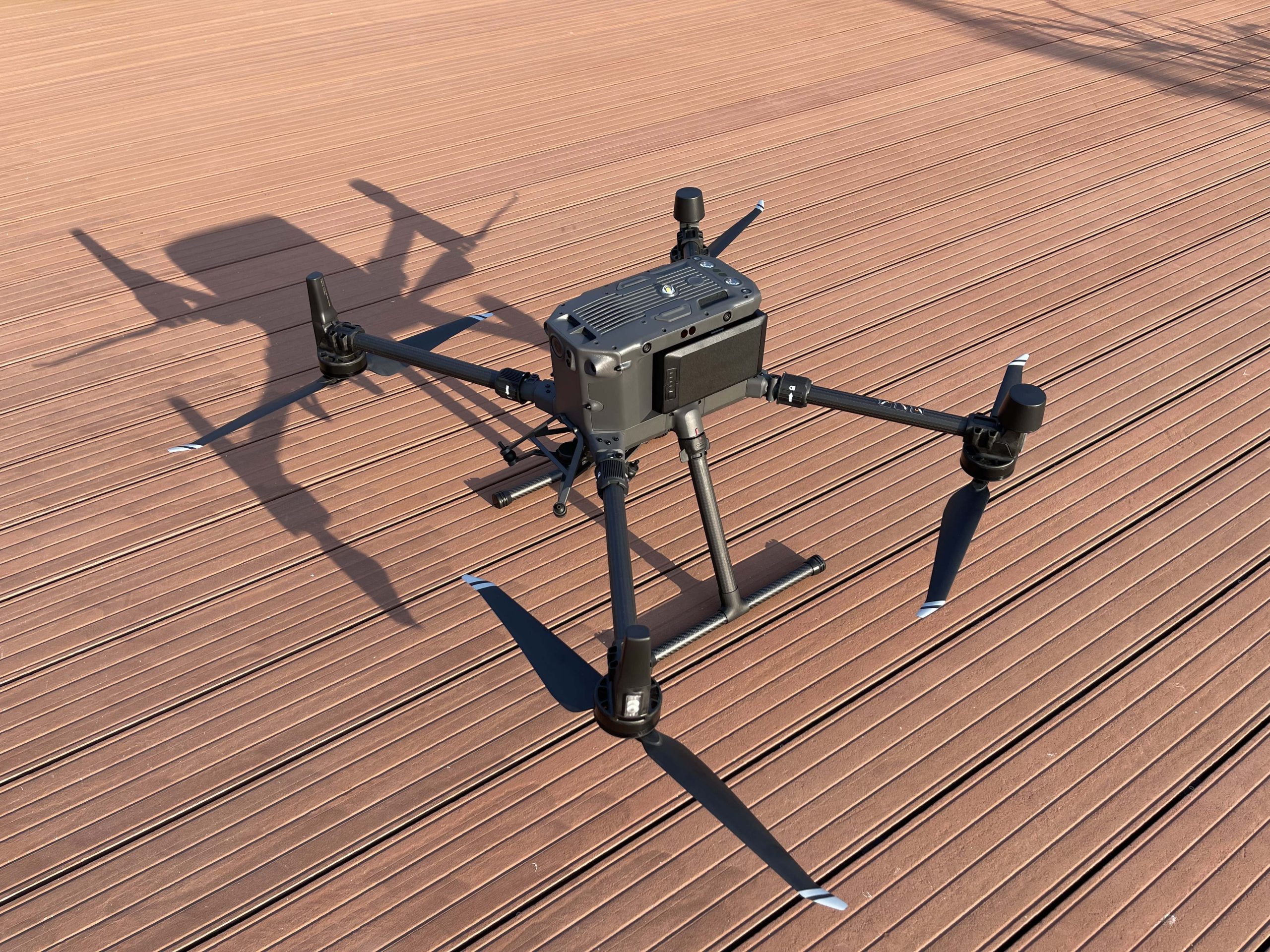
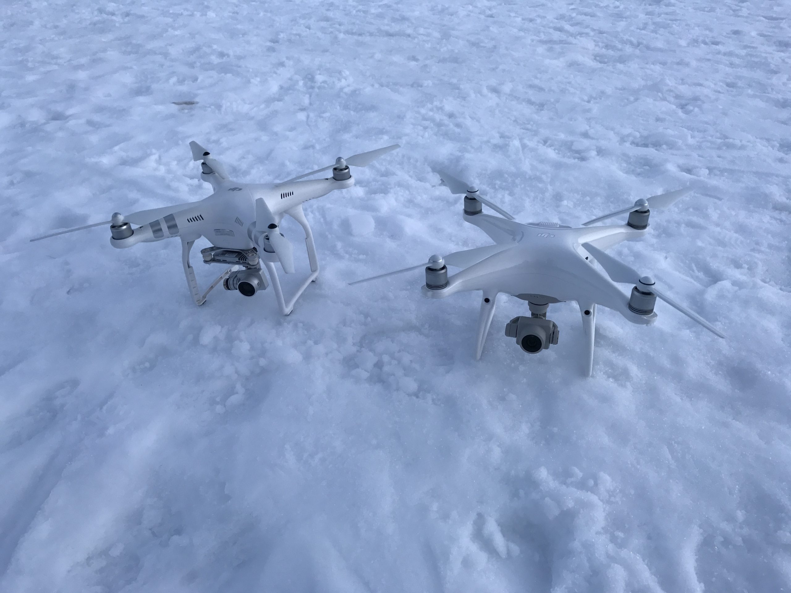
FLIGHTEC uses various multi-rotor drones equipped with different cameras to map smaller areas. Photogrammetry techniques used during drone based Volumetric Surveys provide greater point density than traditional survey methods and are an economical way to improve accuracy and efficiency.
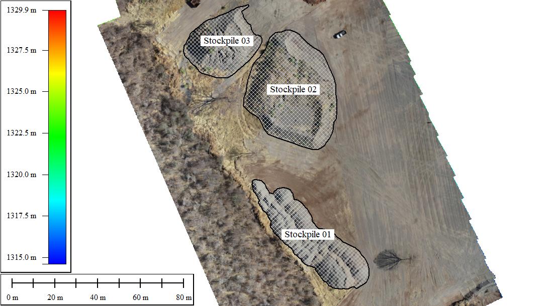
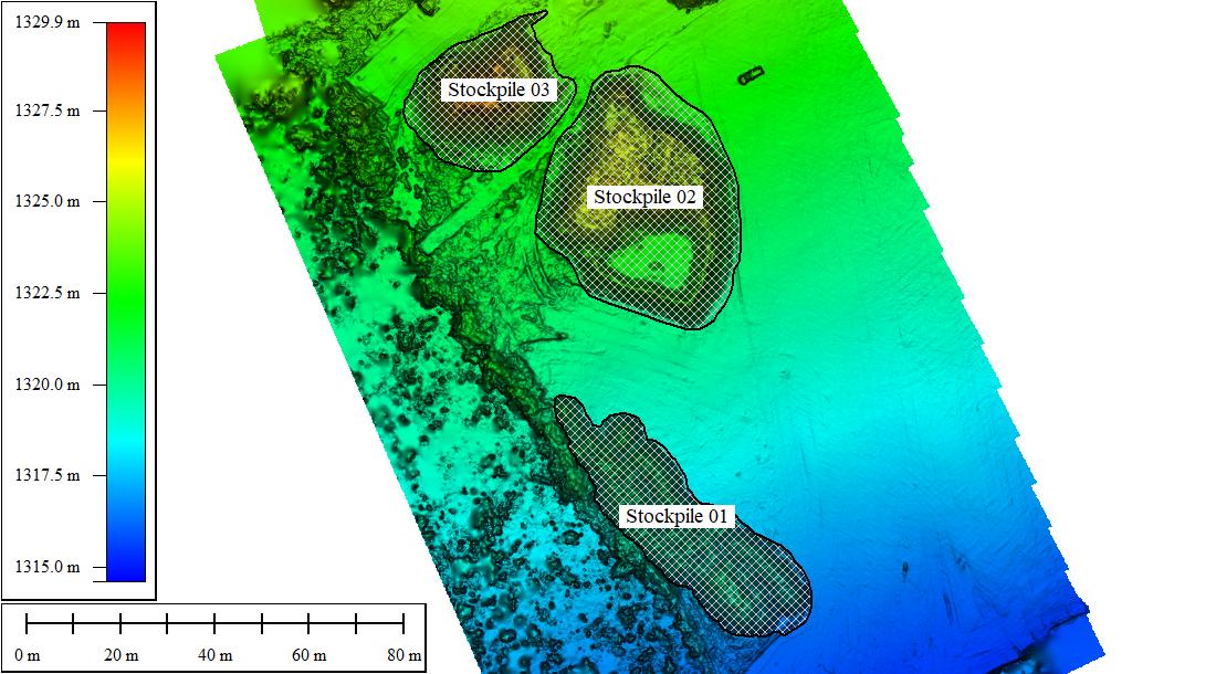
Volumetric Surveys can be used for 2D and 3D measurements, as well as cut and fill calculations. It is well suited for:
- Material Volume Calculations
- Mines, Quarries, Excavations
- Capacity Calculations
- Dams, Lakes, Ponds, Landfills
- Watershed Calculations
- Drainage and Accumulation Maps
- Comparative Analysis and Compaction Rate Calculation
- Slope Monitoring
EXECUTION
A Volumetric Survey is typically conducted over smaller areas than TOPOGRAPHIC surveys. The primary aim is to produce maps for accurate measurements of distance and volumes, while providing the capability for precise data comparison. Depending on the terrain, the selected Ground Sample Distance (GSD) restricts flying height, thereby guaranteeing a minimum quality threshold. Surveys are usually conducted within Visual-Line-Of-Site (VLOS) allowing the Pilot-in-Command (PIC) to directly intervene should any unsafe scenario occur.
Advantages of Multirotor Volumetric Surveys:
- Higher Point Density
- Economical and Effective
- Safer than traditional methods
- Faster than traditional methods